Data Catalogue
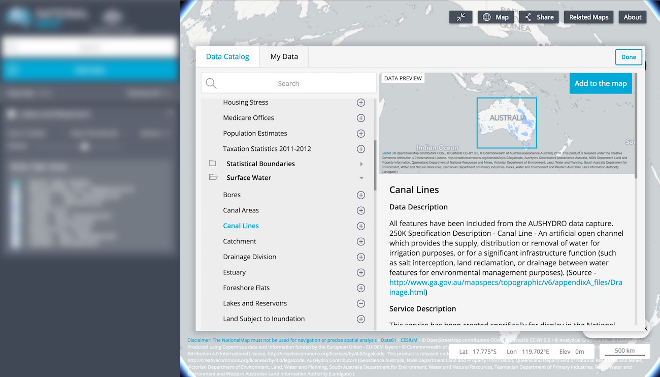
The principal WAXI vector datasets have been made available though this site, all of which can be accessed via the Data Catalogue. To launch the Data Catalogue, click the Add Data button in the left hand panel opposite the map.
You can see details of the department or agency that provides the spatial data by clicking on the title of your prefered data set in the Data Catalogue.